
حجم فایل : 1.6 MB
نوع فایل : پاور پوینت
تعداد اسلاید ها : 46
بنام خدا 1 2 فصل 7 : مشخصات و هندسه عکس قائم 45 Slide 3 Definitions Vertical photograph – photo taken with the optical axis coinciding with the direction of gravity
Tilted photograph – photo taken with the optical axis unintentionally tilted from the vertical by a small amount, usually less that 3°
Near vertical photo
Exposure station – space position of the front nodal point at the instant of exposure
Flying height – elevation of exposure station above sea level or datum 4 DEFINITIONS (cont.) x-axis of the photograph – line on photo between opposite fiducials which most nearly parallels the direction of flight
y-axis – line on photo normal to x-axis with positive being 90° counter-clockwise from +x 5 Coordinate System Using Corner FIDUCIALS x’, y’ coordinates – arbitrary
where
6 Scale Over Flat Terrain Utilizing similar triangles
7 SCALE OVER FLAT TERRAIN (Example) Example: Vertical photo taken over flat terrain with 152.4 mm focal length camera at a height of 1830 m above ground. What is the photo scale?
Solution: 8 SCALE OVER VARIABLE TERRAIN 9 SCALE OVER VARIABLE TERRAIN (cont.) By similar triangles, Loa and LAOA:
By similar triangles LOAA and Loa
Scale is: 10 Average Scale Defines overall mean scale of vertical photo over variable terrain
where:
11 SCALE OVER VARIABLE TERRAIN (Example) Example: The highest, average, and lowest terrain points are 610, 460, and 310 m above sea level respectively. Calculate the maximum scale, minimum scale, and average scale if the flying height above mean sea level is 3000 m and the camera focal length is 152.4 mm. 12 SCALE OVER VARIABLE TERRAIN Solution:
Maximum scale:
Minimum scale:
Average scale:
13 SCALE OVER VARIABLE TERRAIN How to determine scale if the area on the photography is inaccessible?
If map of area is available, it can be used to help determine scale
Use relationship
14 SCALE OVER VARIABLE TERRAIN (Example) Example: The length of an airport runway measures 160 mm on a vertical photograph. On a map, whose scale is 1:24,000, the runway scales 103 mm. What is the scale of the photograph at the runway elevation
Solution:
15 GROUND COORDINATES FROM VERTICAL PHOTO 16 GROUND COORDINATES FROM VERTICAL PHOTO (cont.) From similar triangles La’o and LA’AO
From similar triangles La”o and LA”AO<b...
مبلغ واقعی 98,824 تومان 20% تخفیف مبلغ قابل پرداخت 79,059 تومان
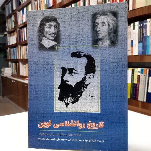 دانلود تاریخ روانشناسی نوین
 دانلود پاورپوینت خود امدادی و دگرامدادی
 دانلود پاورپوینت قرارداد اجاره زمانی کشتی
 دانلود پاورپوینت طراحی خودکار مدارهای دیجیتال
 دانلود پاورپوینت آزادی بندگی و هدف زندگی
 دانلود پاورپوینت پروتکل های تشریفات ،جشن ها و مراسم در رویداد های ورزشی
 دانلود پاورپوینت شیمی آلی پیشرفته
 دانلود پاورپوینت حاکمیت شرکتی
 دانلود پاورپوینت اصول مدیریت و تئوري سازمان
 دانلود پاورپوینت شیمی معدنی 1
 دانلود پاورپوینت اصول تهیه و برنامه ریزی انواع رژیمهای غذایی بیمارستانی
 دانلود پاورپوینت نظریه مجموعه های فازی و كاربردهاي آن در مهندسي صنايع
 دانلود پاورپوینت نقایص ایمنی مادرزادی و اکتسابی
 دانلود پاورپوینت کشت خون
 دانلود پاورپوینت کاربرد داده کاوی در تشخیص و درمان بیماری های قلبی و دیابت
 تفسیر NST و نوار قلب جنین
 متد لاغری جدید بدون گرسنگی
 دانلود پاورپوینت هموفیلوس، بوردتلا و بورسلا
 دانلود پاورپوینت فیزیولوژی دستگاه تعادل (گوش)
 دانلود پاورپوینت تولرانس ایمنی و خود ایمنی
 دانلود پاورپوینت سودوموناس
 دانلود پاورپوینت کاربرد روانشناسی در دندانپزشکی کودکان
 مقاله 100 صفحه ای با فرمت PDF در مورد بخش مراقبت های ویژه (ICU)
 دانلود پاورپوینت ارائه یک رویکرد استوار برای بهینه سازی شبکه های صف
 دانلود پاورپوینت ایمنی و حفاظت اشعه-منابع تابش اشعه
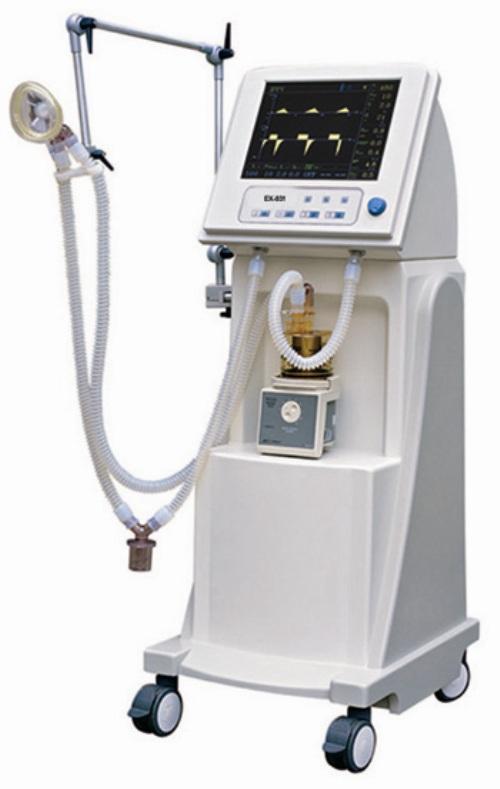 آموزش عملکرد دستگاه ونتیلاتور و نحوه کار با آن
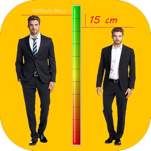 افزایش قد 6 تا 12 سانت 70 درصد تضمینی
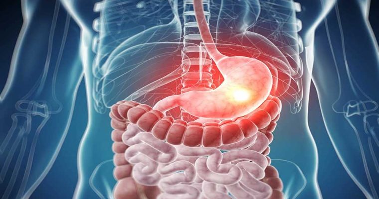 فایل پی دی اف آموزش تک یاخته های دستگاه گوارش
 مجموعه 16 فایل مربوط به فیزیولوژی عمومی تئوری و عملی آزمایشگاهی بصورت یکجا
 دانلود پاورپوینت تضمین کیفیت و کنترل عفونت در رادیولوژی
 فایل آموزشی داروهای قلبی و عروقی شامل: داروهای موثر بر پرفشاری (ضد هایپرتنشن) داروهای ضد آنژین داروهای موثر بر نارسایی قلبی (CHF) داروهای ضد آریتمی
 دانلود پاورپوینت مهاجرت لکوسیت ها به بافت ها (۲)
 دانلود پاورپوینت ایمنی در برابر تومورها
 دانلود پاورپوینت ساختمان مینای دندان
 دانلود پاورپوینت آسکاریس، ژیاردیا، کرمک و بیماری اسهال
 دانلود پاورپوینت انگلیسی Chlamydia به همراه ترجمه فارسی
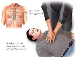 جزوه احیای قلبی و ریوی بزرگسالان بر اساس گایدلاین های 2015
 مجموعه 30 تصویر میکروسکوپی از انگلهای موجود در درس انگل شناسی
 دانلود پاورپوینت ازدیاد حساسیت و خودایمنی
 دانلود پاورپوینت داروهای بی حسی سطحی
 دانلود پاورپوینت جداسازی سرم و پلاسما و سلول های تک هسته ای از خون محیطی و تهیه رقت های پیاپی
لطفا برای ارتباط با پشتیبانی از قسمت تماس با ما و ایمیل استفاده نمایید